Visualization of Local Network Traffic
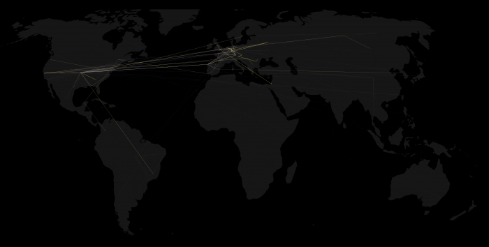
Just created a simple visualization to enhance my Processing experiences. The initial data is collected using Wireshark Network Protocol Analyzer. Each package network route is resolved via traceroute and then mapped using the free GeoLiteCity database by MaxMind.
Session 1: 60 seconds browsing through several websites
[flashvideo file=wp-content/uploads/2010/09/websites.avi.flv /]
Session 2: 60 seconds peer-to-peer file sharing
[flashvideo file=wp-content/uploads/2010/09/p2p_1152kbps.flv /]
Static image of session 2
The following image shows all network routes at once: